


Review Views, Privacy, and Access Around a Site
Use massing images, site photos, neighboring context, and access diagrams to mark important sightlines, sensitive interfaces, and movement conflicts around an early proposal.
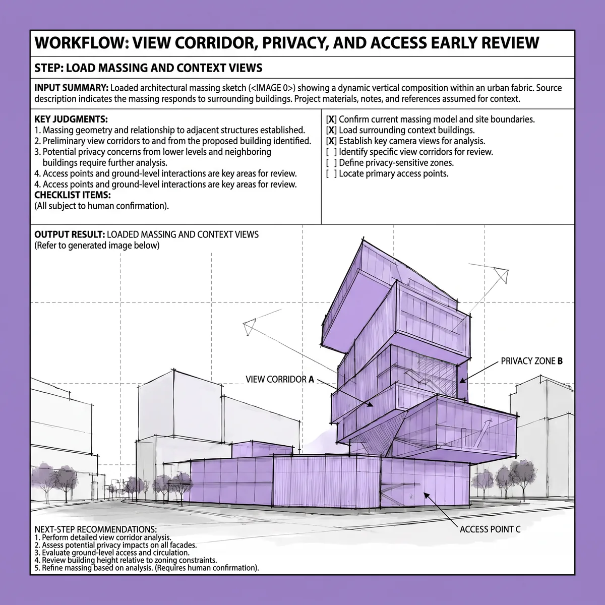
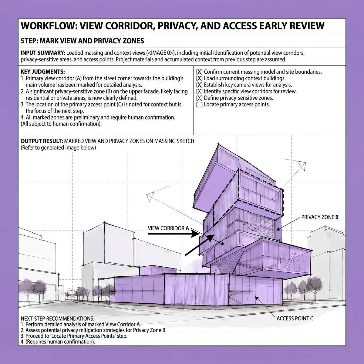
See the Workflow Run
The actual workflow — connected nodes you can run to preview each step.
Where an Early Site-Context Review Adds Value
Professional capabilities powered by AI.
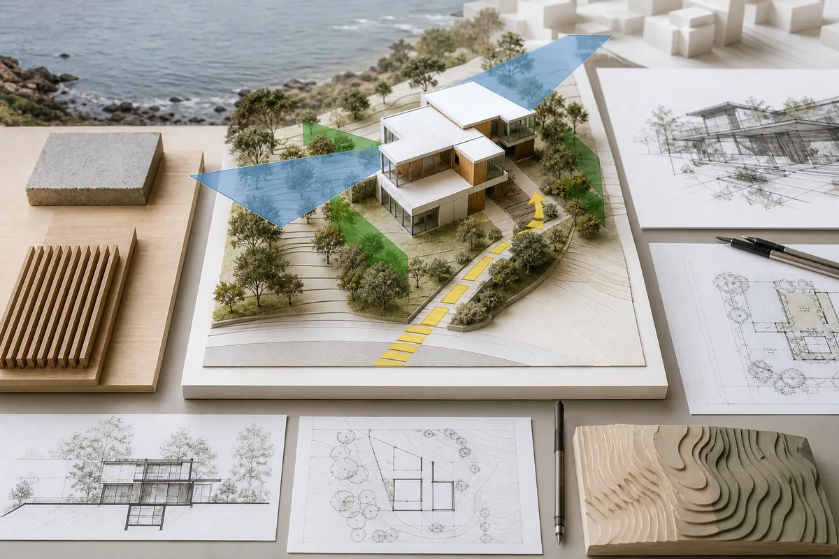
Position Openings and Outdoor Areas
Understand which edges may support views and which need greater privacy or screening consideration.
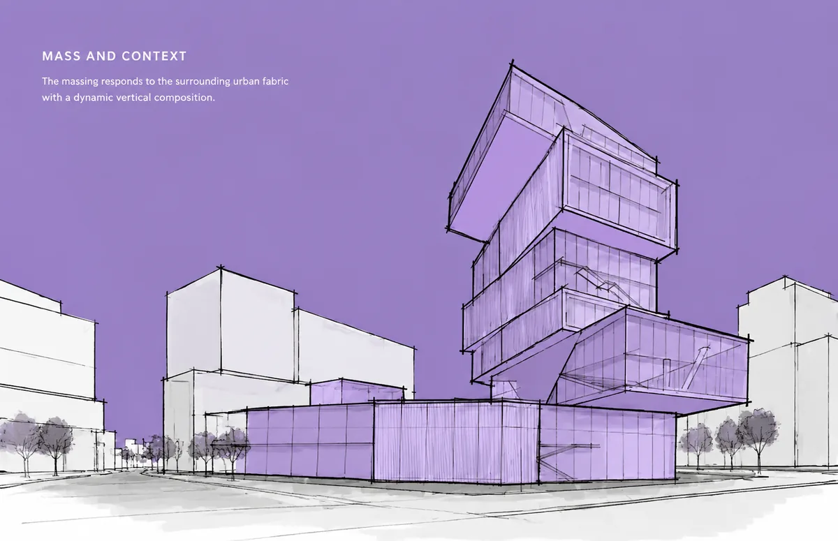
Discuss Neighbor Relationships
Make potential overlooking, blocked outlooks, and sensitive boundaries visible during concept development.
Coordinate Arrival and Service Access
Identify apparent conflicts between entrances, vehicles, pedestrians, and site operations before detailed circulation design.
Review the Site from More Than One Viewpoint
A single project image rarely explains reciprocal views. Consider what occupants may see outward, what neighbors may see toward the proposal, and how those relationships change across levels and site edges.
Distinguish a broad view corridor from a local privacy condition. The appropriate design response may involve orientation, distance, screening, level, landscape, or the placement of specific openings.
Access observations remain provisional without measured geometry, ownership information, traffic evidence, and technical design. Record conflicts for follow-up rather than presenting the pack as an access approval.
Frequently Asked Questions
See Site-Context Conflicts Before They Become Fixed
Map views, privacy conditions, and access relationships around the massing while there is still time to respond.

Technical support: tech@promeai.pro
Business collaboration: business@promeai.pro