


Turn a Master Plan into a Colored Plan and Aerial View
Develop CAD, redline, or planning information into a readable colored master plan and a low-altitude 45-degree aerial rendering that explains the wider site proposal.
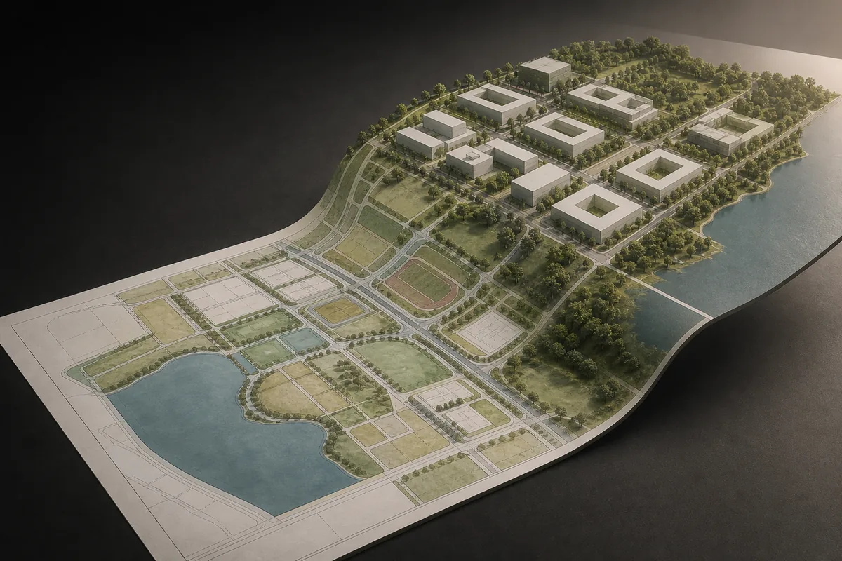
See the Workflow Run
The actual workflow — connected nodes you can run to preview each step.
Where Master-Plan Visuals Improve Site Communication
Professional capabilities powered by AI.
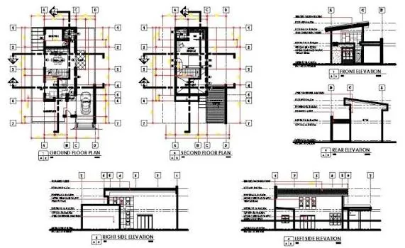
Explain a Development Framework
Show how buildings, open spaces, routes, and landscape systems relate across the wider proposal.
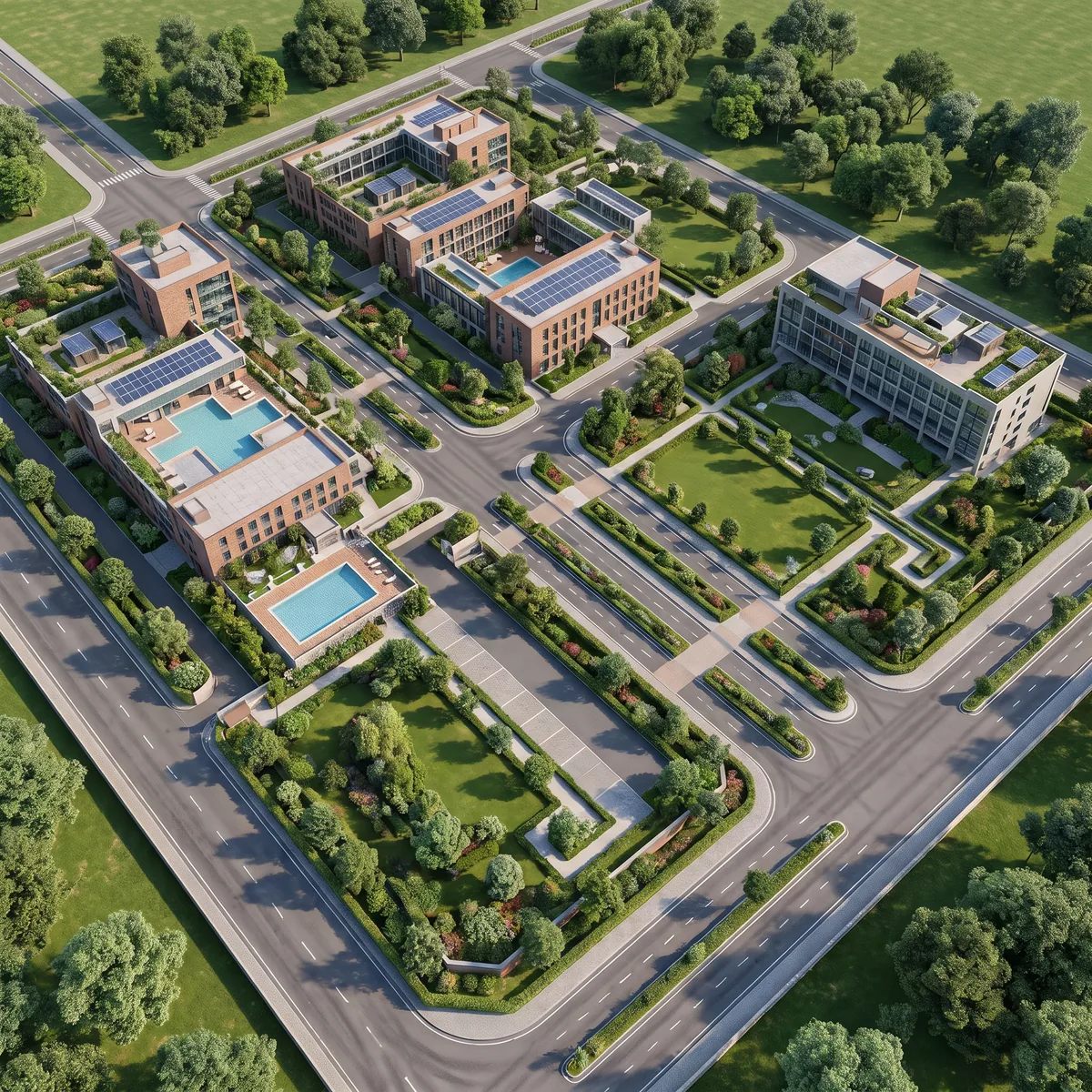
Prepare a Planning or Client Review
Pair a legible plan with an aerial perspective that is easier for non-specialists to understand.
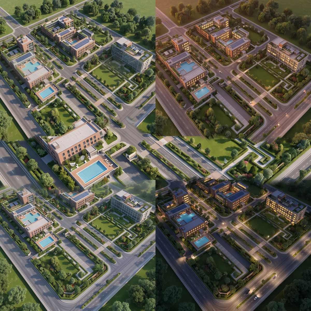
Compare Presentation Viewpoints
Choose an aerial angle that makes the most important site relationships visible without distorting the planning logic.
Keep the Plan and Aerial View Consistent
Buildings, roads, paths, landscape zones, water, and boundaries should correspond across both outputs. A persuasive aerial image loses value when it contradicts the source plan.
Use color hierarchy to explain land use and movement before adding texture. Excessive visual detail can make important routes, edges, and open-space relationships difficult to read.
Generated imagery communicates planning intent but does not replace measured CAD, surveyed boundaries, technical landscape information, or verified development data.
Frequently Asked Questions
Show the Master Plan as Both Information and Place
Create a clear colored plan and an aerial view that communicate the same site proposal from complementary perspectives.

Technical support: tech@promeai.pro
Business collaboration: business@promeai.pro